Ottershaw map 2000
Ottershaw and environs
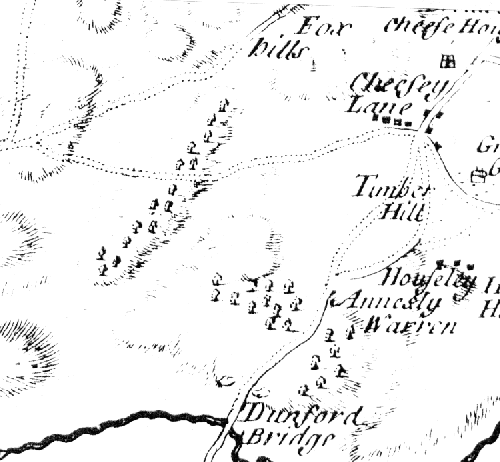
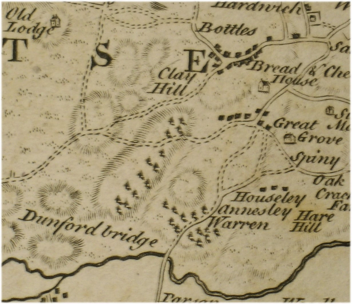
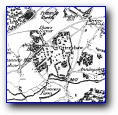
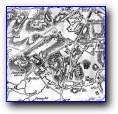
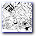
John Roque 1762
Ottershaw and environs
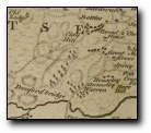
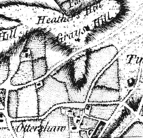
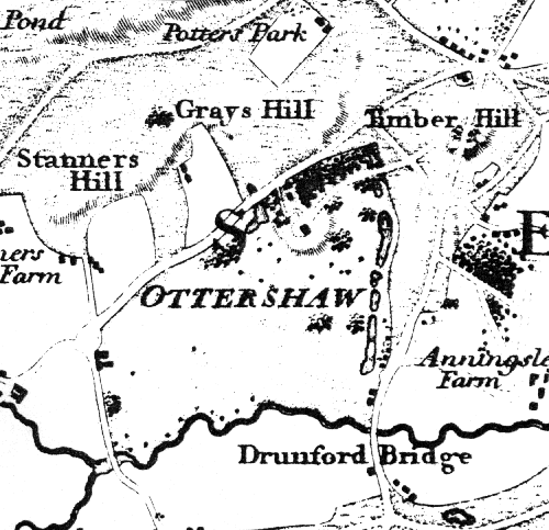
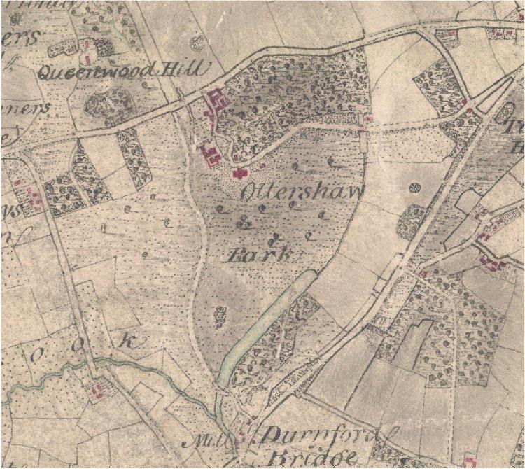
Lindley & Crossley 1789
Ottershaw and environs
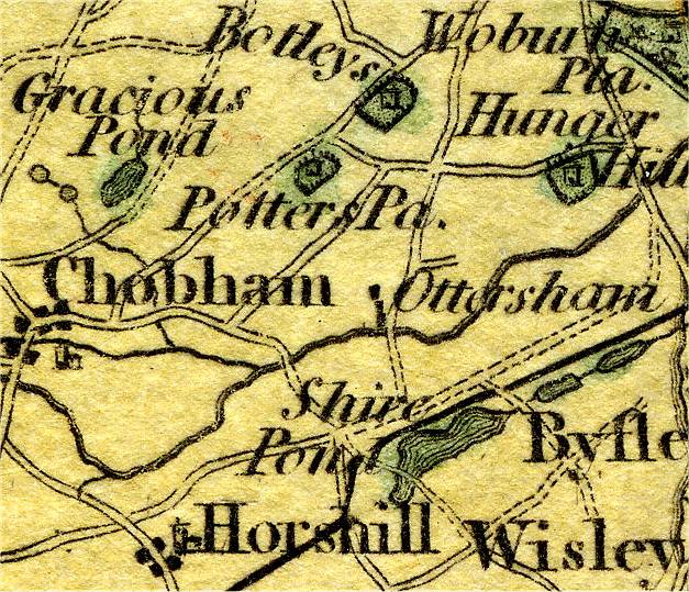
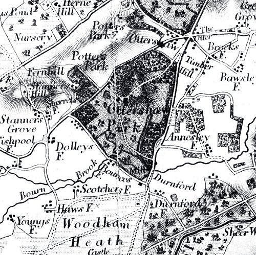
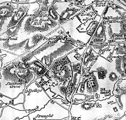
Cary 1794
Ottershaw and environs
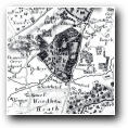
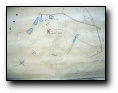
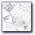
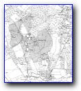
Ordnance Surveyors Drawing 1806/7
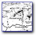
Ottershaw and environs
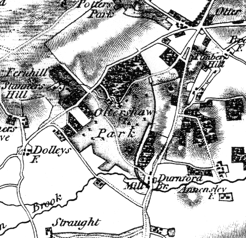
Ordnance Survey 1816
Ottershaw and environs
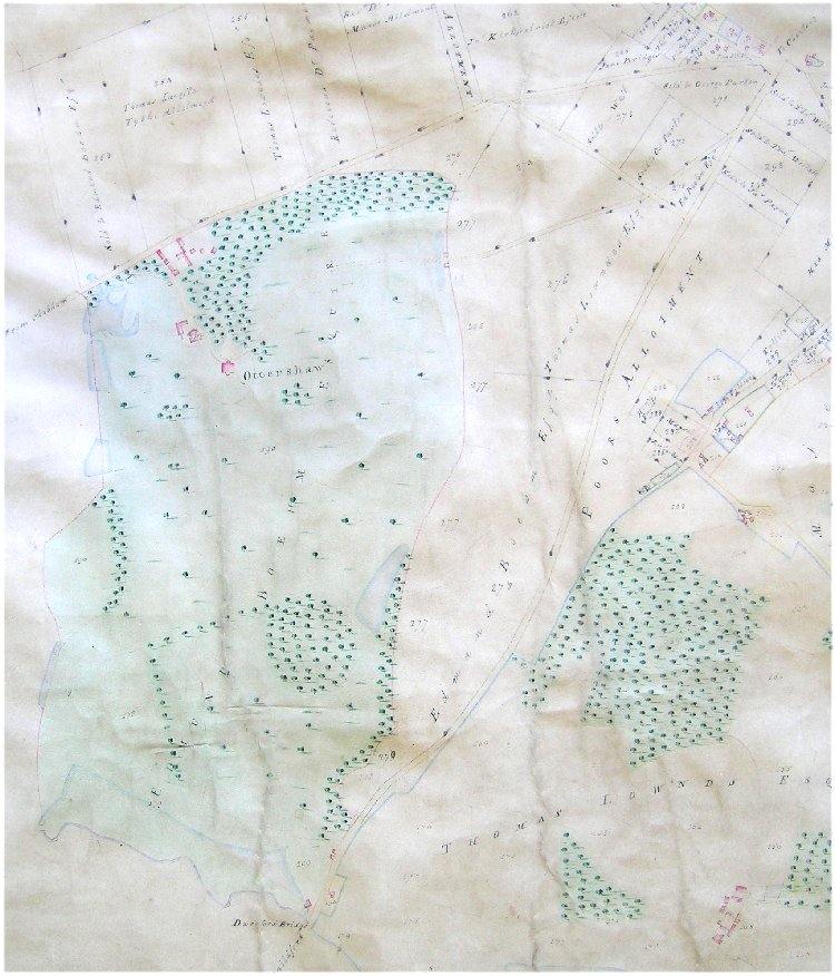
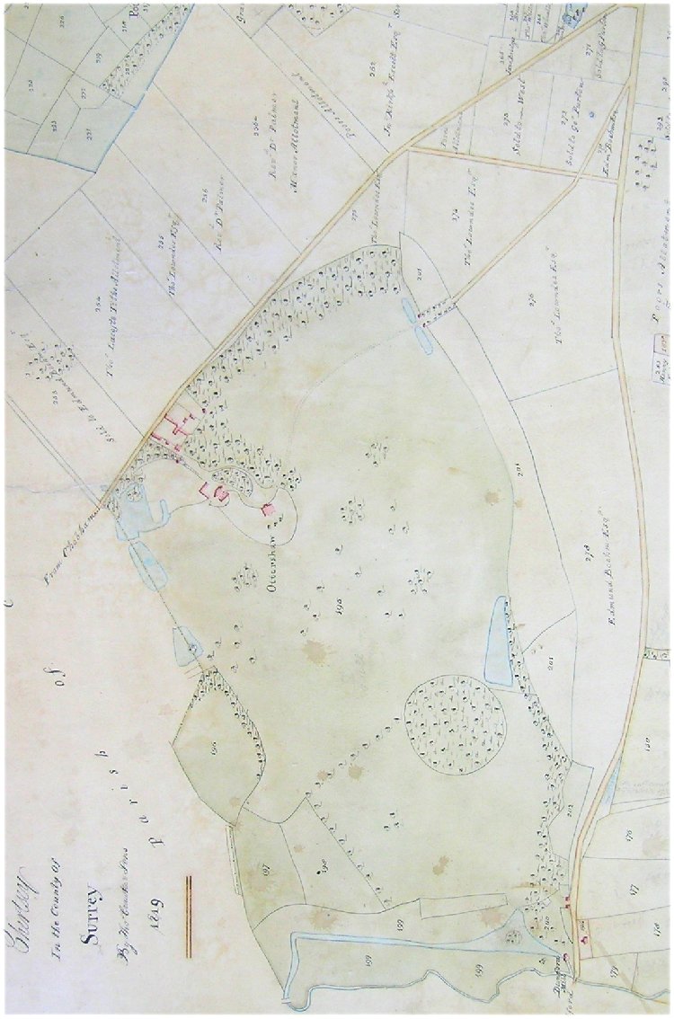
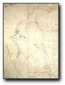
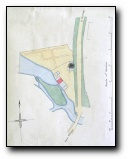
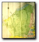
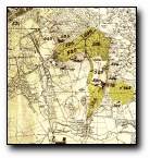
Walton Leigh Manor Enclosure Act map 1802
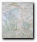
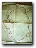
Walton Leigh Manor map 1819 (copy of 1802 Enclusure Award map)
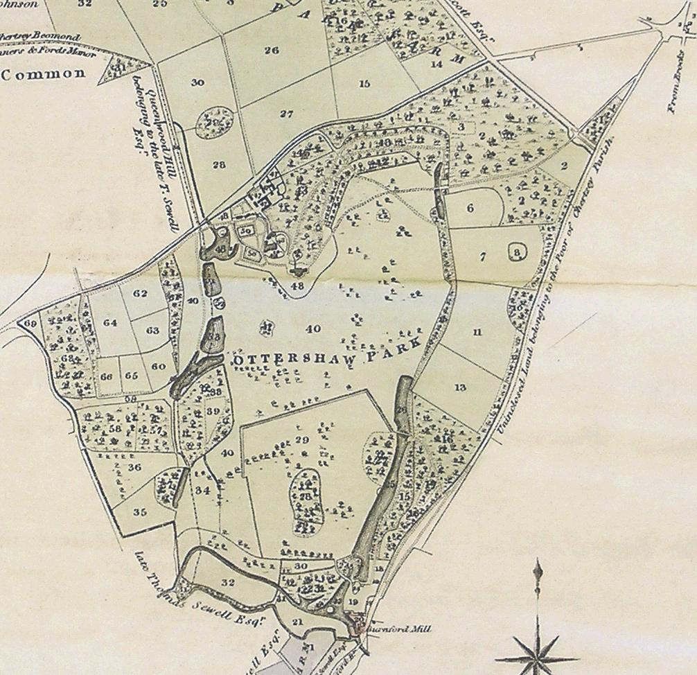
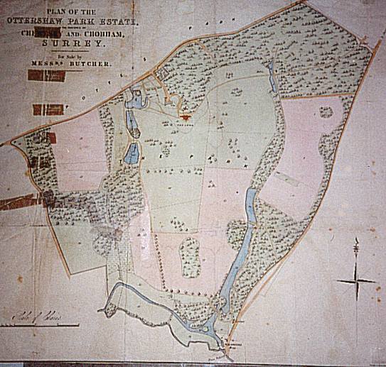
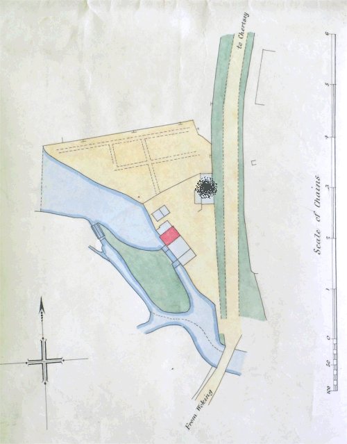
Sale catalog 1819
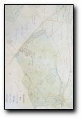
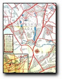
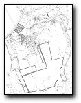
Ottershaw Park
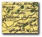
Ottershaw and environs
Ottershaw and environs
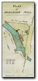
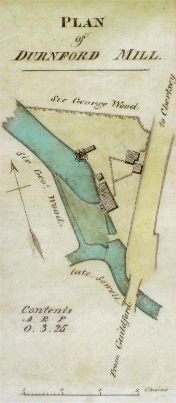
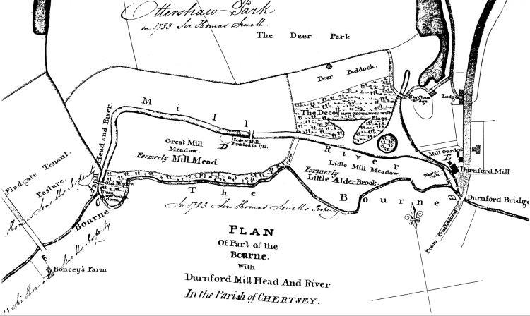
Durnford mill and River Bourne
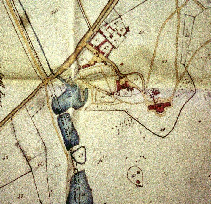
BL:Additional MS 12,551.e
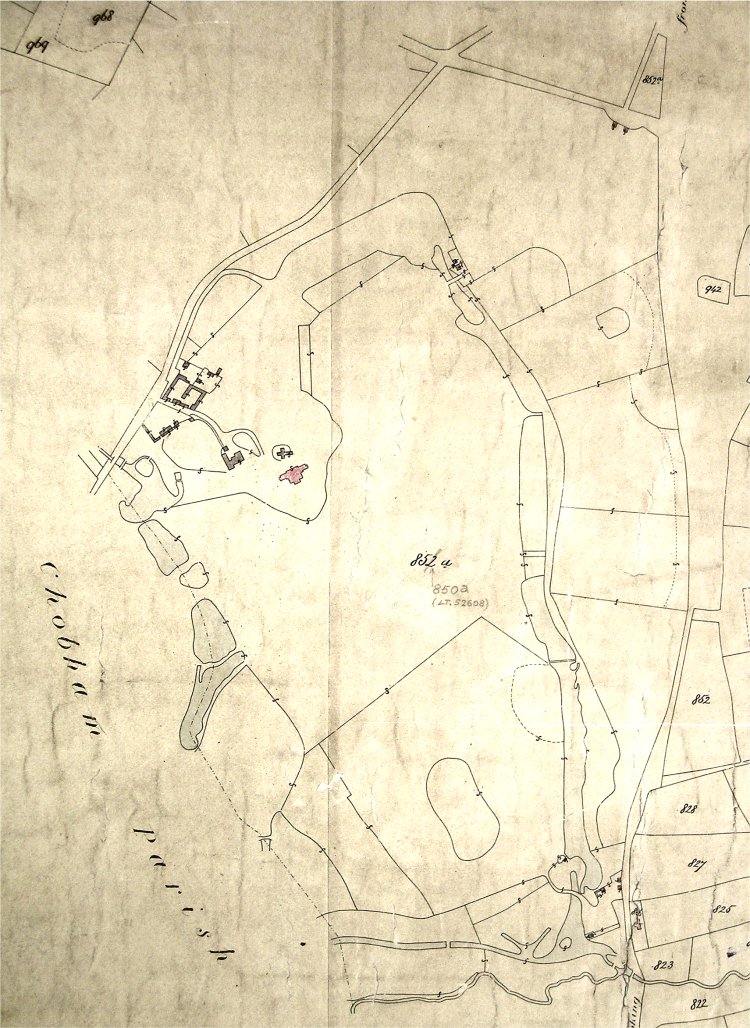
SHC: 2156/8/2a
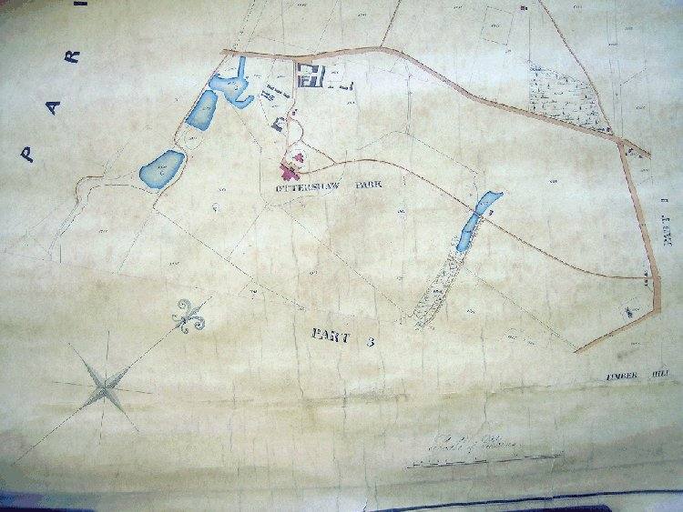
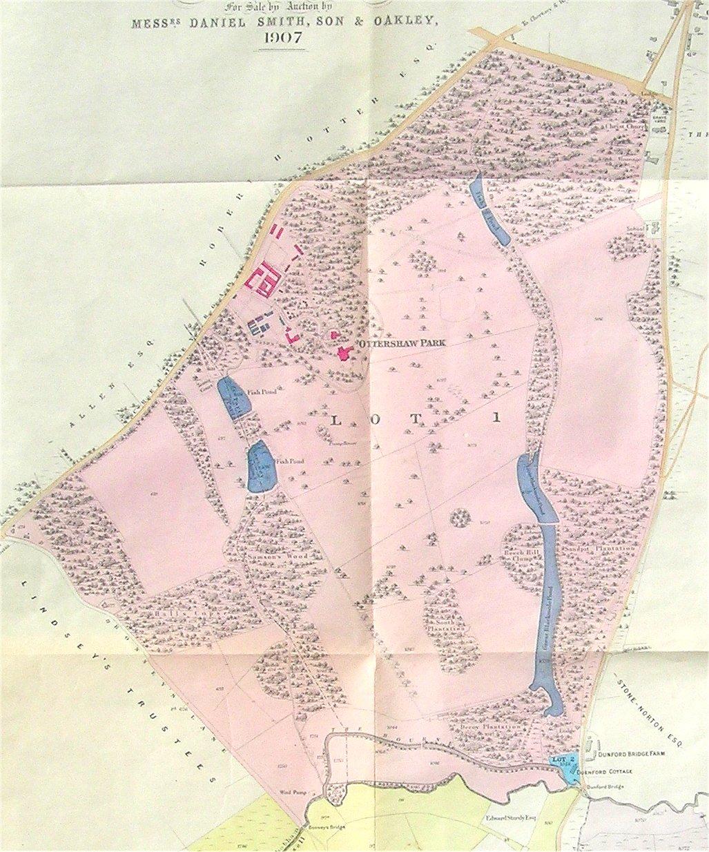
Ottershaw Park
PRO
Copy in CM
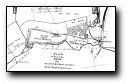
Ottershaw and environs
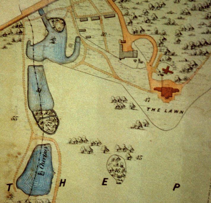
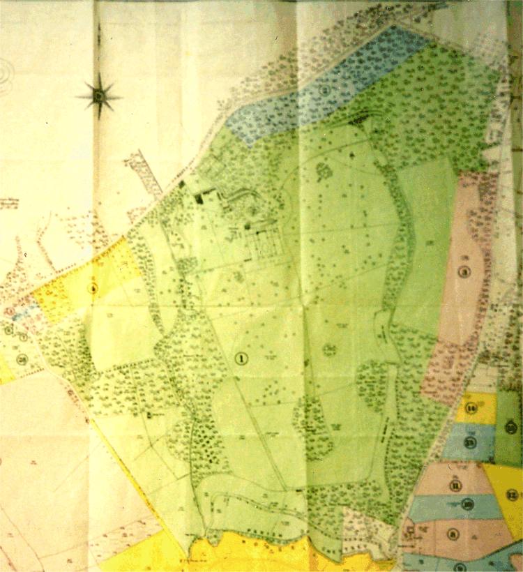
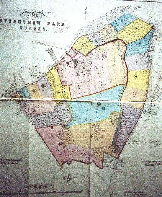
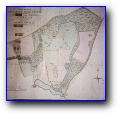
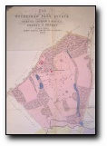
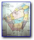
Map of Ottershaw Park
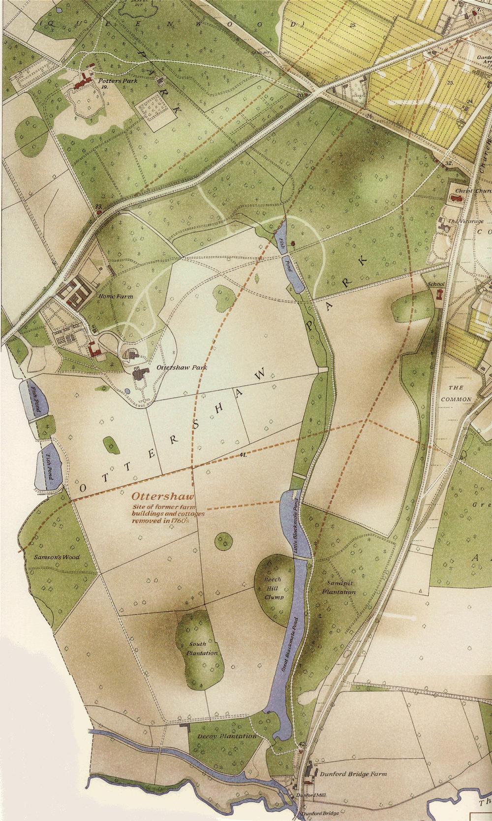
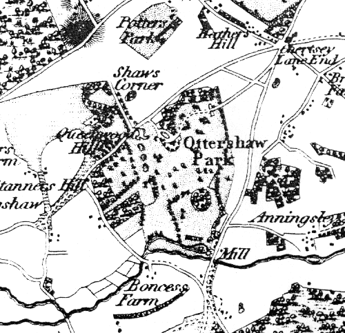
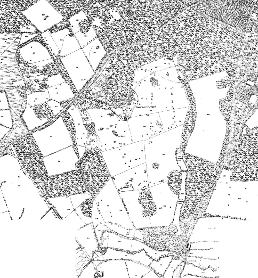
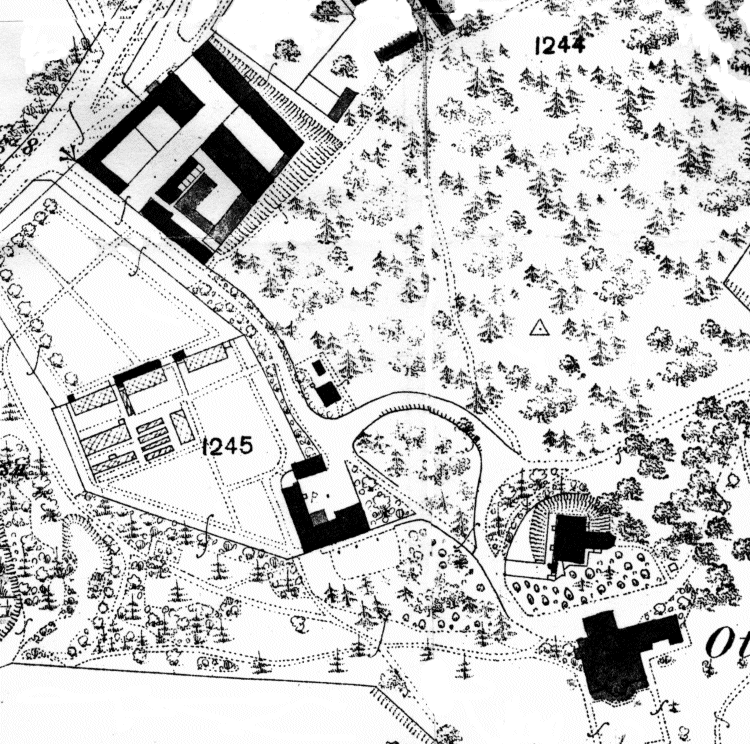
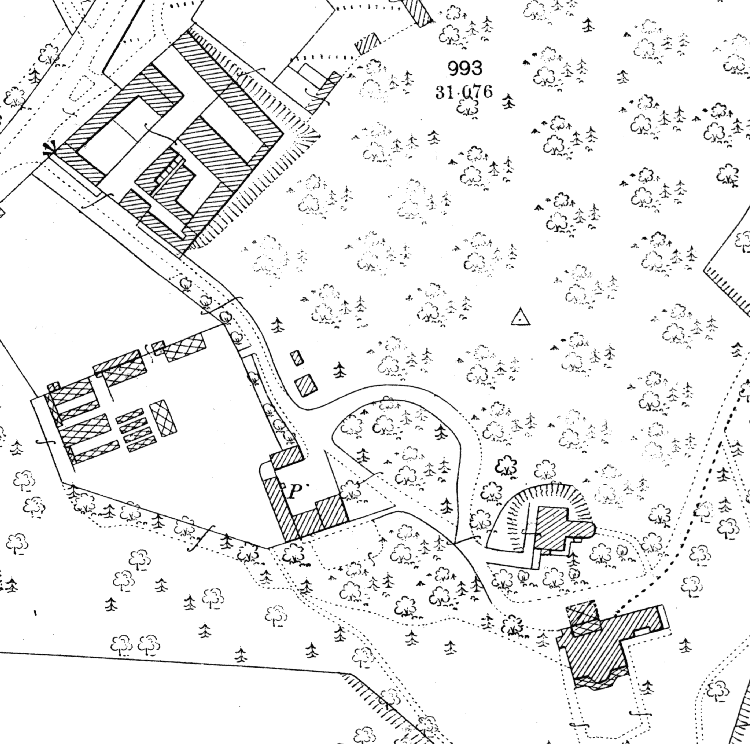
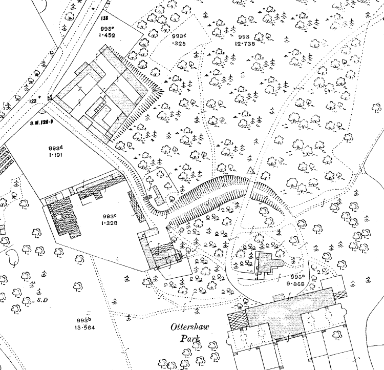
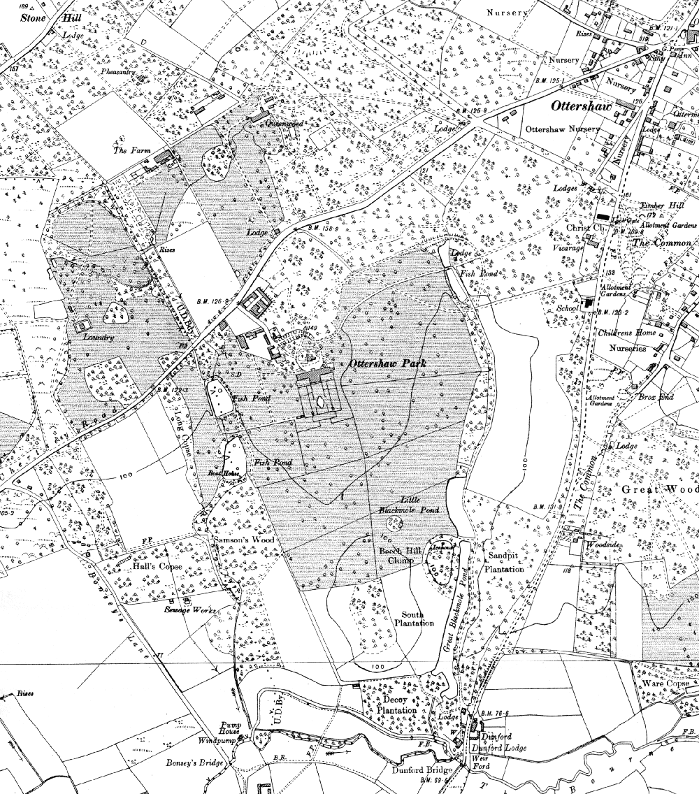
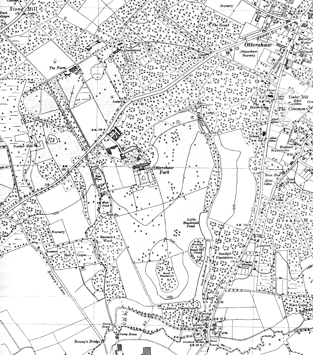
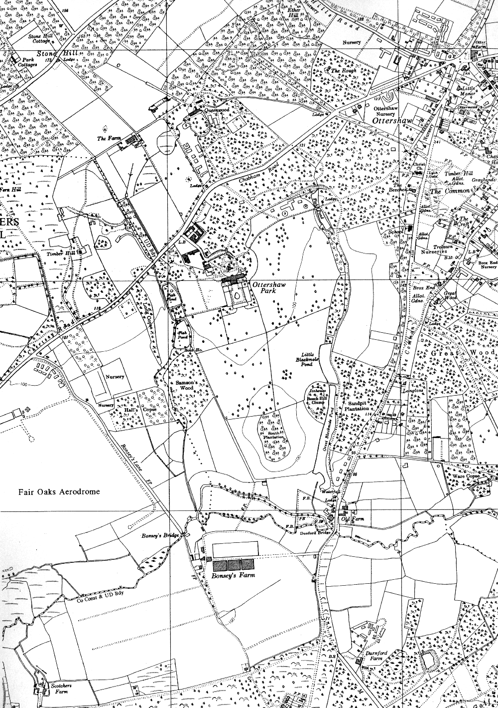
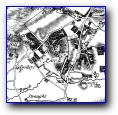
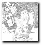
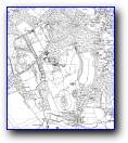
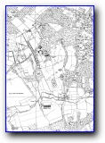
Ordnance Survey 1880 (surveyed 1870)
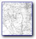
Ottershaw Park and environs
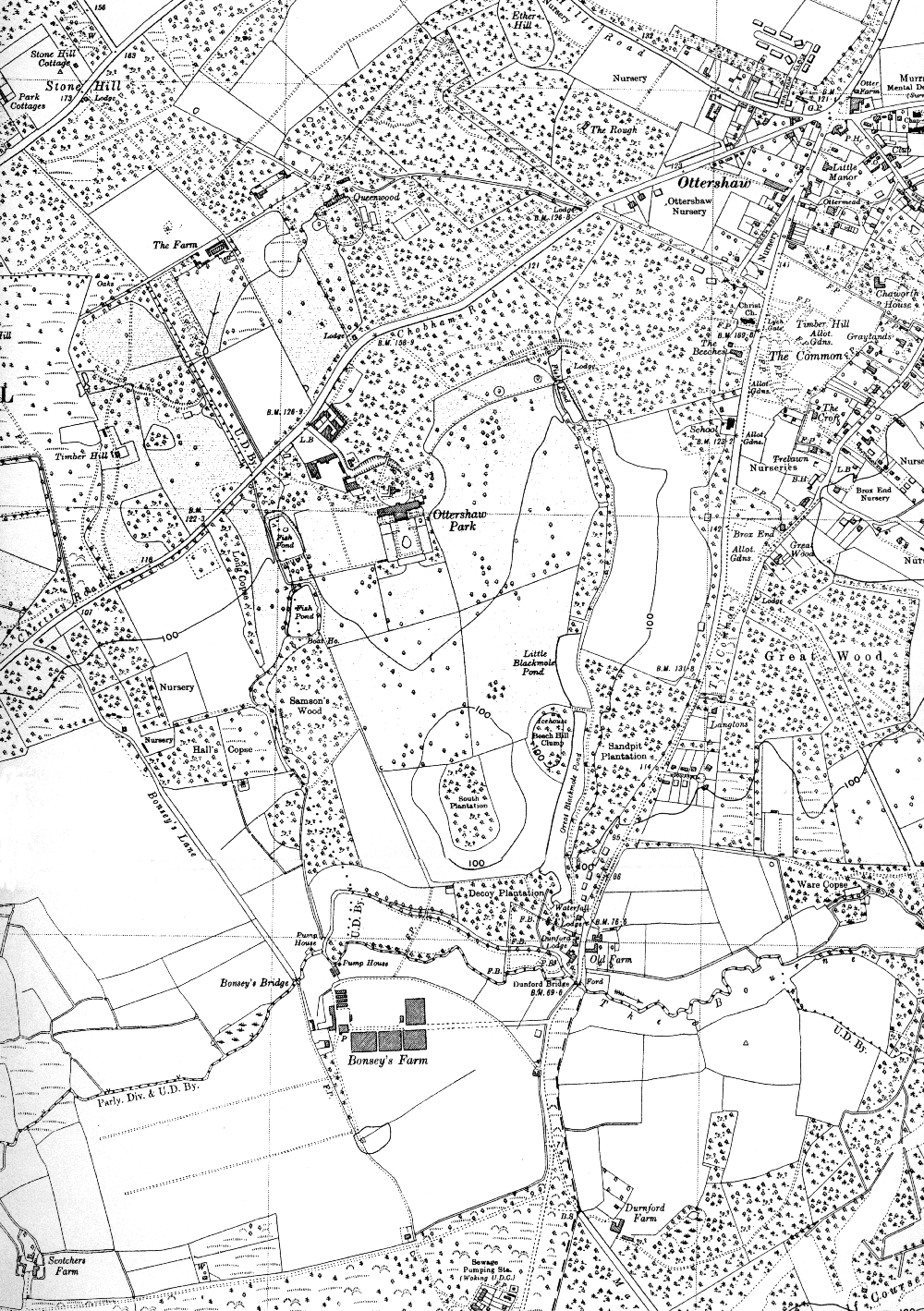
Ordnance Survey 1880 (surveyed 1870)
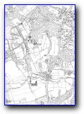
Ottershaw Park and environs
Ottershaw Park and environs
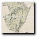
Ottershaw Park
Ottershaw Park and environs
Ottershaw Park and environs
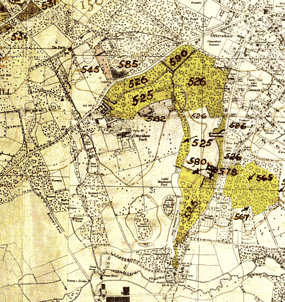
6"
Ottershaw Park
Ottershaw Park
Ottershaw Park
Ottershaw Park and environs
Ottershaw Park and environs
Ottershaw Park and environs
Ottershaw Park and environs
Ottershaw Park and environs
Ottershaw Park and environs
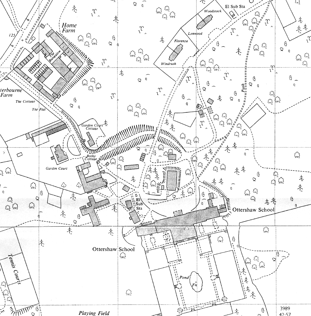
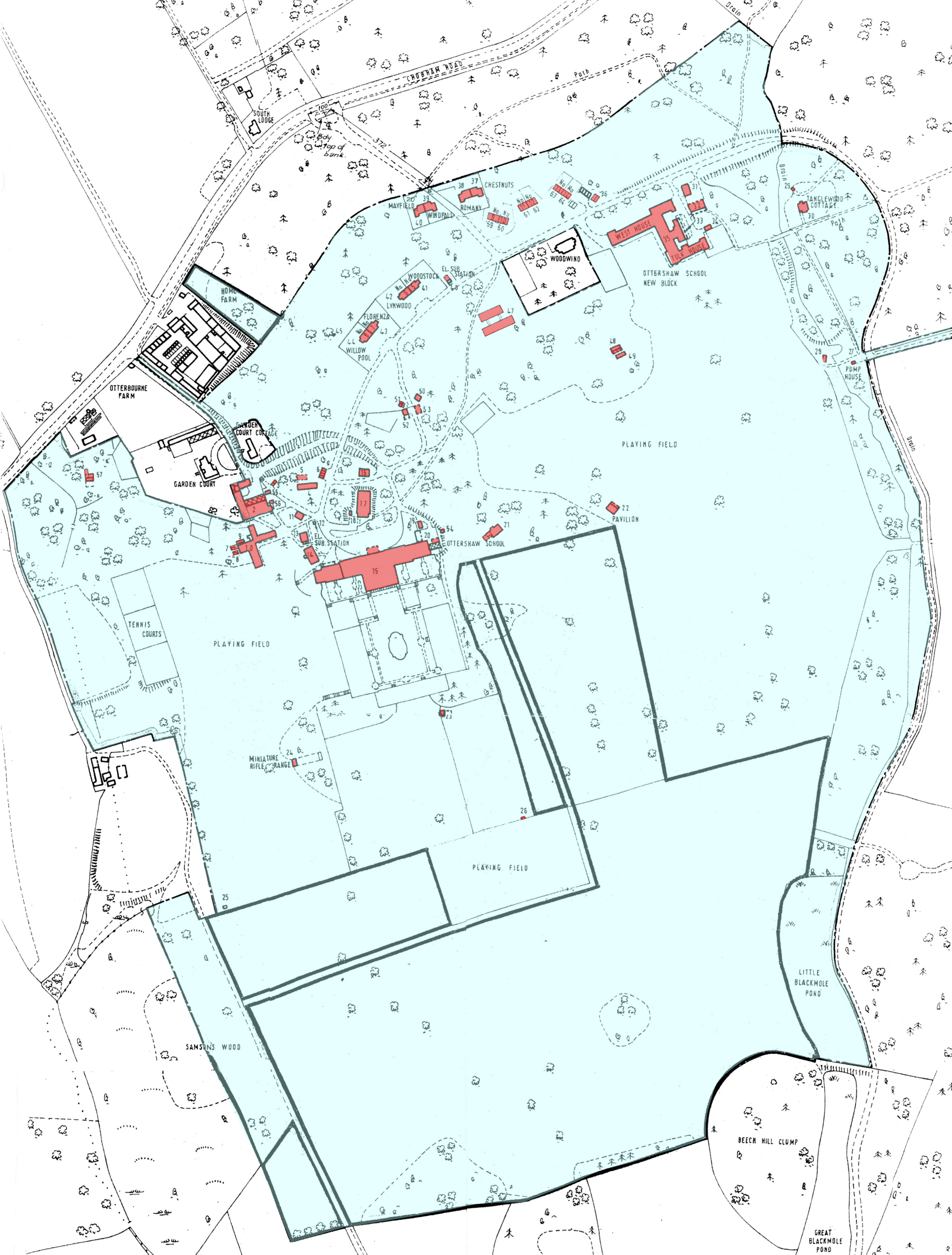
Ottershaw School
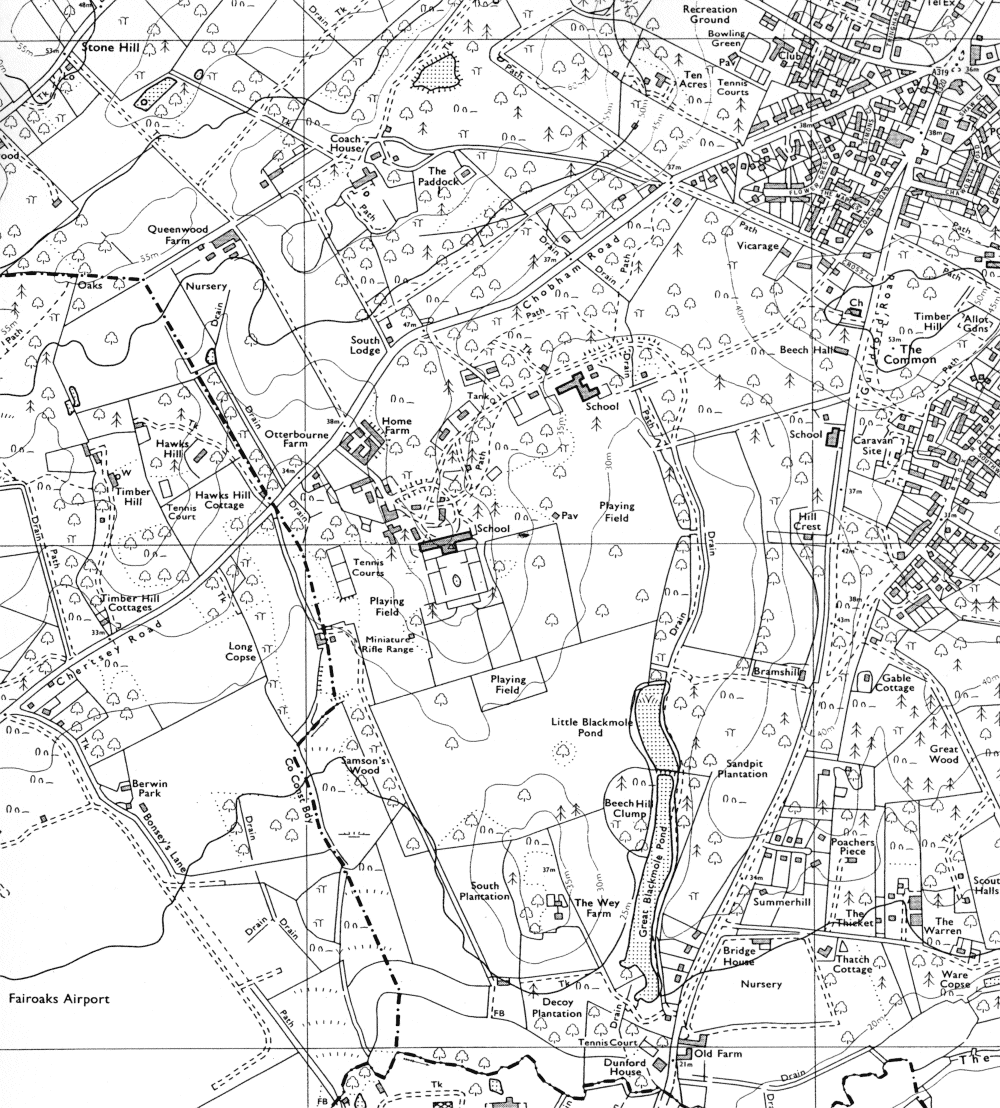
Ottershaw Park and environs
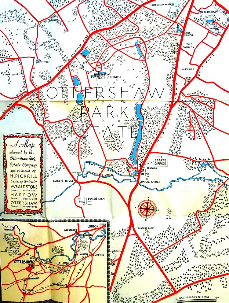
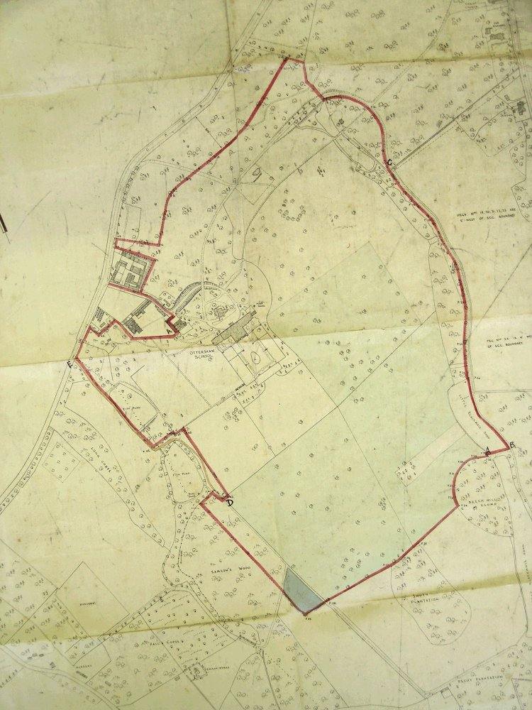
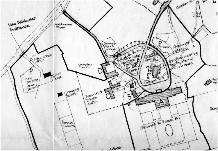
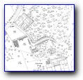
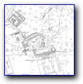
Architects plan of proposed redevelopment of Ottershaw Park, 1980